First, the whole of the British Isles from Orkney (on the right) to Brittany on the left.
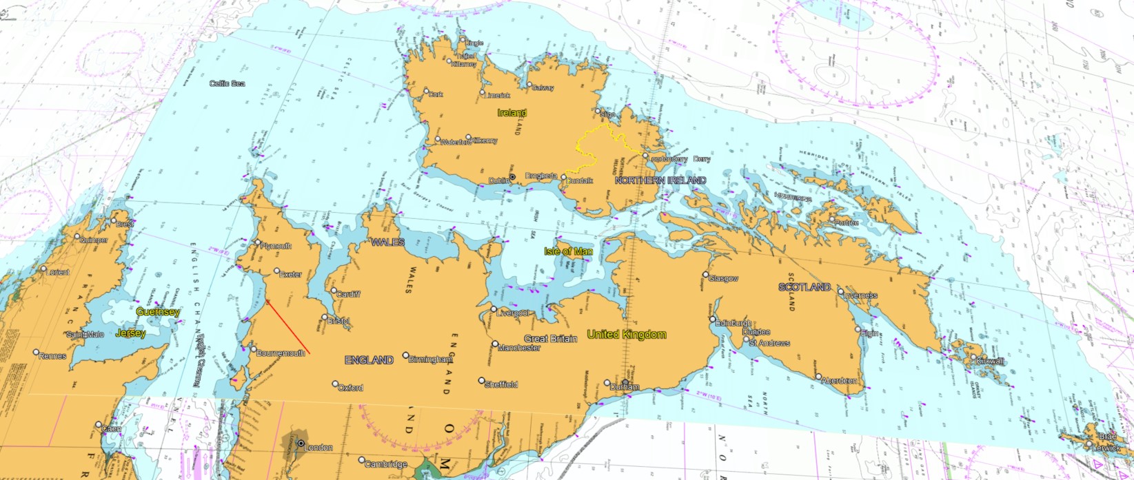
For a (literally) different point of view on how the high-status Celtic Saints (and the lower-status Trade peoples) may have viewed their navigable world. This is no "Celtic Fringe", this is Celtic Central, and Londonium is a long way away and less relevant.