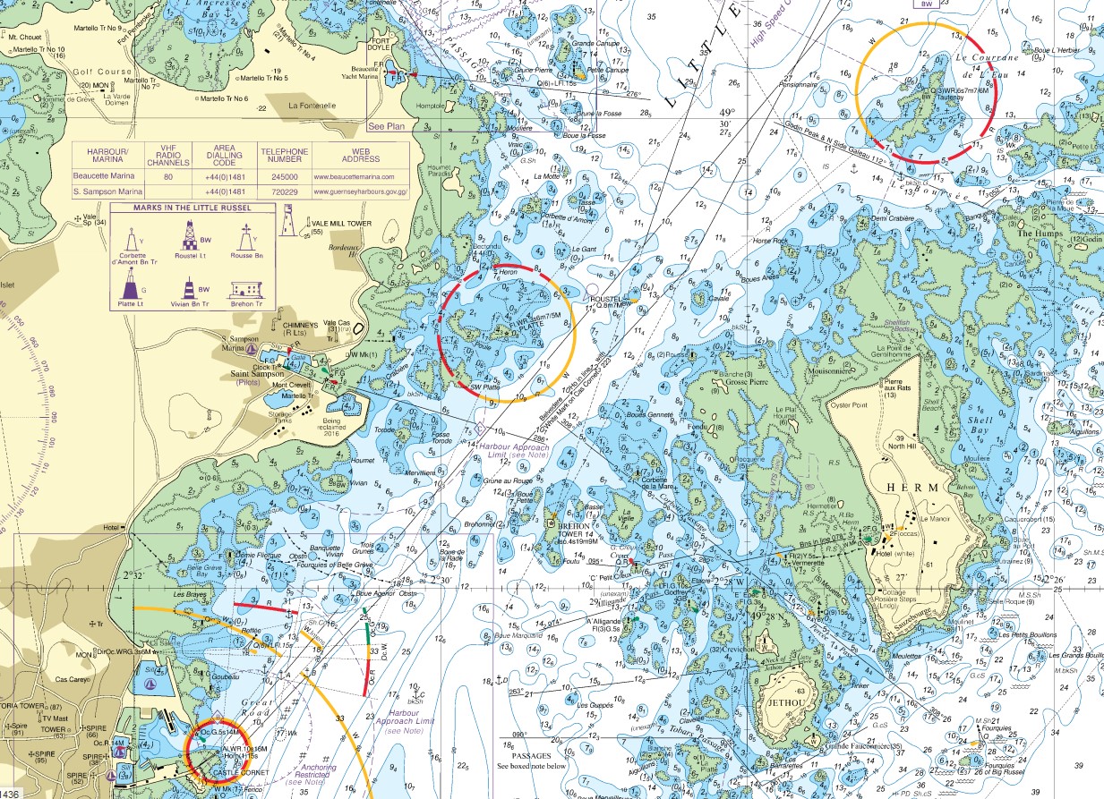
Just to clarify, these are digital copies of the marine navigation charts produced by the UK Hydrographic Office (UKHO) in Taunton.
I can see what they are, Borry.
Sadly, they are not editable, neither do they include graphics tools to do things like "stick in a few arrows".
Sadly, they are designed for mariners for naviagtional purposes, they are not designed for you to show to us what we need to know.
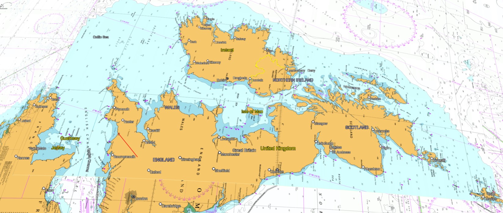
The advantage of showing the marine contours, and shallow areas (shaded in green and blue) is a much more immediate understanding of what the land would have been like in megalithic times, with a lower sea level. e.g. being able to walk between Guernsey and Herm, with perhaps just a paddle at low tide.
That's my point. This would indeed be exactly the sort of thing I should like to know but I haven't got a hope of spotting it, have I? If you've spotted it then you have to find a way of allowing me to see it as well.
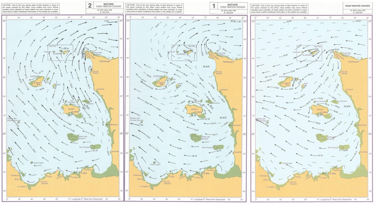
"if currents and prevailing winds are important" - they are indeed, and they have lots of arrows, to show how rapidly it changes, hour by hour! For example, here's just three hours out of twelve.
Well, okay, you've dug up something but how am I the wiser for it? All I see is arrows.
No wonder that it says this in the "Saltair Na Rann", in connection with the Celtic Saints in their Schools of Knowledge. Being a carefully rebadged version of the Druids, to avoid the wrath of Columba & Co.
Good, good, this sounds interesting...
For each day five items of knowledge are required of everyone, with no appearance of boasting, who would be leader. The day of the solar month, the age of the moon, the state of the sea tide, without error, the day of the week, the calendar of the feasts of the deities.
Excellent! Now what about people who are not trained in these arts (or, indeed, of the modern arts) of navigation?
The state of the sea tide is the part especially emphasised with "without error", as it's the part that changes most rapidly, in a cycle that doesn't synchronise with the natural day or 24 hours.
I look forward to enlightenment. You knowing it is not sufficient for me to know it unless you also decide that the communication bit is part of your brief as well.