You're most welcome though you'll find most of the action is nowadays going on over at our other site
http://www.applied-epistemology.com/phpbb2/index.php I continued Mick’s new Michael line, from the direction of mont st.michel to burgh(Michael) island until it joined the Michael line proper. As I predicted they intersect at St Michaels, Brentor (formerly beacon tor). This line nicely hugs the edge of Dartmoor meaning that Ingot movers emerging from the Tamar Valley or from Exmoor could follow the Michael line to brentor and then follow the ‘new’ Michael line to burgh island without dealing with too much Dartmoor or winding up in Plymouth (something people desperately avoid still today).
Very useful. We latterly assumed that Plymouth Sound is itself the after-effects of tin mining.
My local church Walkhampton sits a top a promontory on the edge of the moor with a clear line of sight to Brentor with a few straight roads, fords and crossroads inbetween. Walkhampton Church is supposedly build on a megalithic site; no remains are obvious other than some massive granite gate posts casually reused in the local fields. However, the church does have a couple of other megalithic features - it sits on an almost unrecognisable crossroads made of mainly ancient drove ways and footpaths, the church apparently (according to Wikipedia, looking for confirmation) was dedicated to St Dionysius, the church house, apparently the old vicarage, has been used as an inn and finally, most damning of all, the church’s alignment is not east/west, but northeast/southwest and is supposedly the alignment of the previous structure. It has been suggested that this refers to midsummer sunrise, which is in fact much further north that the church points, but I feel like the alignment is at a right angle to the ley line it respects.
You seem to have a good nose for bogus explanations. The trouble is that there are two competing sets of experts -- the academics and the crazies -- who seem to have no idea of what constitutes evidence and what is wishful thinking.
The line can be traced onwards to Yennadon Down which, although is historically featureless, today has a stand of tress that is visible for miles.
This is one of the odder Megalithic markers. As you say, these stands of trees look for all the world to be artificial waymarkers yet, unlike most of the Megalithic infrastructure, do not seem able to pass the test of time.
Just down hill is a ford (Meavy) which is surrounded by ancient oaks, unusual for an area that was pretty much treeless only 150 years ago (the village of Meavy also contains an ancient ‘Royal Oak’ and a pub bearing the same name).
As long as Charles II didn't hide up it.
The line seems to continue towards the dewerstone (Devon’s only ‘enclosed’ tor) and then on to boringdon camp, Iron Age site.
'Dewerstones' is a new one on me. More please.
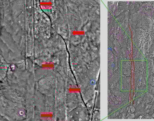
Get on Google Earth and see if you agree or not
If you think I am capable of operating Google Earth you've come to the wrong man. I keep house serfs to do that sort of thing.