Extract Forty-SevenThis particular “West Coast” route ends at the twin islands of Ile de Re and Ile d’Oleron:

The Bay of Biscay at this point becomes too rough for routine voyages so, as we shall see, alternative arrangements for serving the southern French and northern Spanish coastal areas come into play here.
Generally speaking, tin exports from Britain to the far south -- Spain, Portugal and the Mediterranean -- go direct from Brittany to the north-west corner of Spain, which is presumably why they have the same name Finistere and Finisterre, reminiscent of the direct route from Corbiere/Guernsey to Corbiere/Jersey.
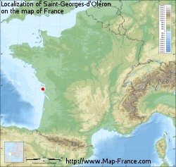
The overall position can be seen here (the two islands are marked by the red spot):
The Ile de Re certainly looks entirely Megalithic:

which is confirmed in a backhanded sort of way by the historical evidence:
During Roman times, Île de Ré was an archipelago consisting of three small islands. The space between the islands was progressively filled by a combination of human activity (salt fields gained from the sea) and siltage.
though whether there once was a tidal causeway is unclear:

Oleron is less obviously Megalithic but has two possible sites of ancient causeways.

Both islands are 'salt islands' and therefore can be assumed to be trading points in their own right but their true significance comes from the fact they guard respectively two of France's most important inland waterways. Ile de Re marks the mouth of the Charente River:

And Oleron the even more important Gironde/Garonne system: