How would anyone tell what was or wasn't 'natural' in a mining area such as the Preseli hills? It isn't always possible to tell where human activity has altered a landscape because unnatural can very soon become natural, particularly with artificial or modified hills I'd have thought. Carn Menyn is not in the least natural surely?
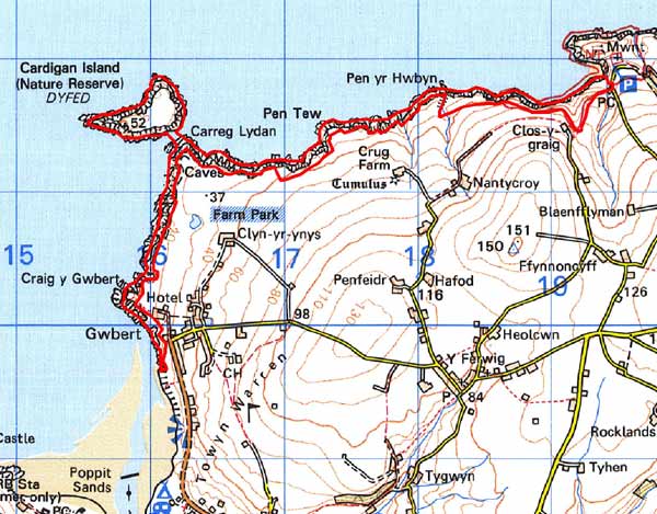
Location is an important aspect, navigationally speaking. Lundy is the critical bit to my mind, it's due west of Stonehenge as someone, Robin Heath, I think, has already noted, and Carn Menyn is due north of Lundy. And due north of Carn Menyn, at the northern end of Cardigan Bay, is Cardigan Island which appears to be a former causewayed island and still frequented by our beloved cormorants.
(Landscape intervention is often a question of period, no-one has a problem with, say, the Wansdyke or Offa's Dyke because they're assumed to be post Bronze Age, i.e. post-antler picks. Silbury is a bit of an anomaly, apparently!).