Would that be the AEL approach we see before us? Useful sometimes, perhaps most of the time. But in this case, the approach is fundamentally flawed.
It is an AE principle to junk a priori principles -- including AE ones -- when challenged.
This was not a "steady state" situation. It was a catastrophic change, in the proper sense of the word.
Well, okay, but remember that this catastophe is hypothesised rather than evidenced. Could you remind me the nature of the catastrophe proposed?
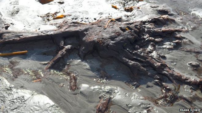
Doggerland was not just as it is now, it had ceased to exist. It was a geo-physical Brexit that literally changed the face of Western Europe.
This is a reasonable, not to say evidenced, event. I entirely accept it. The question is whether it was catastrophic or not. If it is an 'end of the Ice Age' event, then clearly it is not since the rising water levels would have been gradual -- not even perceptible to the inhabitants. It would clearly lead to radical change over hundreds/thousands of years but nothing sudden. Catastrophic changes in sea-level eg tsunamis do not have permanent effects. Doggerland might have been inundated but it would still be there when the event was over.
Sometimes, Big Stuff does happen, and it's not good pretending the situation afterwards is the same as the situation before, or intellectually saying "la-la-la" when people point it out.
OK, point it out. I don't mind radical revisionism (to put it mildly!) but normal physical processes have to be observed. What would cause a catastrophic and permanent rise in sea level? Remember, we have no such model presently.
For a large part of northern Doggerland, an area as big as Scotland is now, the Orkneys were the nearest available high ground.
Even assuming that Britain, Scandinavia and Germany would not make perfectly adequate alternatives (for
southern Doggerfolk for example), why would the Orkneys, having received these Doggerfolk, produce something that all the other Doggerfolk fleeing in other directions would not? Or, assuming this was the sole refuge, why did these Orkney Doggerfolk not promptly apply their advanced cultural practices to everywhere else?

%20(Small)(2).png)
.png)